
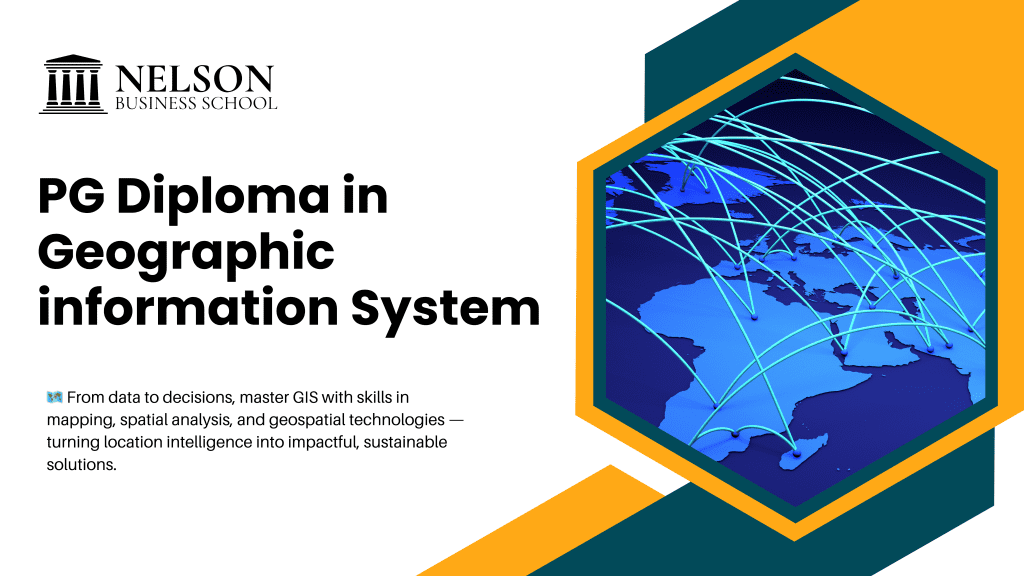
PG Diploma in Geographic Information System (GIS)
In a world that increasingly depends on accurate location-based intelligence, Geographic Information Systems (GIS) have become indispensable for government, businesses, and global development sectors. From predicting natural disasters to building smart cities, optimizing transportation systems, mapping environmental changes, and designing infrastructure—GIS is at the center of modern decision-making.
A PG Diploma in Geographic Information System (GIS) is a specialized program designed for learners who want to explore the power of spatial data, digital mapping, and geospatial technologies. This program offers in-depth knowledge of GIS principles, tools, programming, remote sensing, and analytical techniques that support large-scale real-world applications.
What is a Geographic Information System (GIS)?
A Geographic Information System is a computer-based tool used for:
Collecting spatial and geographical data
Storing and managing geodatabases
Analyzing geographic trends and patterns
Visualizing spatial information through digital maps
Solving location-based problems
GIS integrates cartography, data science, satellite technology, computer programming, and environmental science into one powerful platform.
What is a PG Diploma in GIS?
A PG Diploma in Geographic Information System is a 1-year advanced program designed to build expertise in:
GIS software tools
Remote sensing and satellite data processing
Spatial analysis and geostatistics
GPS field surveying
Digital cartography
Geo-database management
Location-based intelligence
Real-time mapping applications
It combines theory + practical labs + fieldwork + project training to produce industry-ready geospatial professionals.
Why GIS Skills Are Crucial in Today’s World
GIS is used across every major sector that relies on location-based insights:
Smart City Planning
Supports infrastructure design, land-use planning, utilities mapping, and transportation.
Disaster Management & Climate Monitoring
Tracks floods, earthquakes, cyclones, drought patterns, and helps in emergency response.
Environmental Protection
Monitors deforestation, pollution, wildlife habitats, and climate change.
Agriculture & Precision Farming
Helps farmers optimize crop yield using soil health, moisture, and weather data.
Business & Retail Analytics
Companies use GIS to identify store locations, target markets, and supply chain routes.
Transportation & Logistics
Supports real-time fleet tracking, route optimization, and traffic planning.
Mining, Oil & Gas Exploration
Used for land mapping, geological analysis, and risk prediction.
The global GIS market is projected to grow exponentially, making GIS professionals highly sought after worldwide.
Objectives of the PG Diploma in GIS
This program is designed to:
Build strong foundational and advanced knowledge of GIS technologies
Equip learners with hands-on experience using GIS and remote sensing tools
Develop the ability to interpret spatial patterns and environmental changes
Strengthen analytical, mapping, and geospatial modelling skills
Prepare students for leading roles in government, research, and corporate industries
Detailed Curriculum of PG Diploma in GIS
A typical curriculum includes:
1. Introduction to GIS & Geospatial Technology
Understanding GIS principles, data types, map projections, and coordinate systems.
2. Cartography & Digital Map Design
Map elements, symbology, topographical mapping, and visual representation.
3. Remote Sensing & Earth Observation Systems
Satellite imagery, data acquisition, spectral signatures, and image interpretation.
4. GIS Software Tools & Applications
Hands-on training in:
ArcGIS
QGIS
ERDAS Imagine
GRASS GIS
ENVI
AutoCAD Map 3D
5. Spatial Data Analysis & Geo-statistics
Buffering, overlay analysis, interpolation, 3D modelling, and spatial statistics.
6. Geo-database Creation & Management
Data storage, metadata management, SQL for GIS, cloud GIS platforms.
7. GPS, DGPS & Field Survey Techniques
Data collection, ground truthing, wireless mapping technologies.
8. Environmental & Urban Applications of GIS
Urban planning, watershed management, air-quality monitoring, etc.
9. GIS in Disaster Management
Hazard mapping, risk analysis, and rescue planning.
10. GIS Programming (Python / R)
Automation, geoprocessing scripts, spatial computing.
11. Project Work / Internship
A real-world GIS application project with industry tools.
Eligibility Criteria
Bachelor’s degree in Science, Geography, Geology, Agriculture, Architecture, Engineering, IT, Computer Science, or related fields
Basic computer knowledge preferred
No prior GIS experience required
Career Scope After PG Diploma in GIS
GIS professionals are in high demand across government agencies, private companies, consulting firms, and international organizations.
Top Job Roles
GIS Analyst
GIS Technician
Remote Sensing Expert
GIS Developer / Programmer
GIS Cartographer
Geospatial Data Scientist
Urban & Regional Planner
Survey & Mapping Engineer
Environmental GIS Specialist
Drone Mapping Analyst
GIS Project Coordinator
Hiring Industries
Smart City Missions
Environmental Agencies
Agriculture & Forestry
Mining & Natural Resources
Meteorology & Climate Science
Disaster Management Authorities
Urban Planning Departments
Telecom & Utility Mapping
Transportation & Logistics
Research Institutes
Oil & Gas Companies
Government Land Records Departments
Salary Potential
Salary varies by role, experience, and industry:
GIS Technician: ₹2.5 – ₹4 LPA
GIS Analyst: ₹4 – ₹7 LPA
Remote Sensing Specialist: ₹5 – ₹8 LPA
GIS Developer / Programmer: ₹6 – ₹12 LPA
Geospatial Data Scientist: ₹10 – ₹20 LPA
Senior GIS Consultant: ₹12 – ₹25 LPA
International roles offer even higher salaries due to global demand.
Future Scope & Global Demand for GIS
GIS is growing rapidly because of:
Integration with AI and Machine Learning
AI-driven maps, predictive analysis, and automated geoprocessing.
Drone Mapping Technologies
Real-time aerial mapping through UAVs and drones.
Big Data & Cloud GIS
Cloud platforms like ArcGIS Online and Google Earth Engine have boosted geospatial accessibility.
Smart City & Sustainable Infrastructure Projects
GIS is central to government development programs.
Climate Change Research
Organizations like NASA, ISRO, and NOAA depend heavily on GIS experts.
Who Should Enroll in PG Diploma in GIS?
This program is perfect for:
Students interested in geography, science, or environment
Engineering & IT graduates wanting a specialized technical career
Urban planners, architects, and environmental professionals
Government staff involved in land or development projects
Professionals seeking high-demand, future-ready skills
Key Benefits of Pursuing PG Diploma in GIS
High-demand and future-proof career
Opportunities in government & international organizations
Hands-on training with cutting-edge GIS tools
Strong salary growth with experience
Ability to work in environmental, technical, and scientific fields
Opportunity to solve real-world problems using geospatial intelligence
Conclusion
A PG Diploma in Geographic Information System (GIS) is ideal for anyone seeking a career that blends technology, innovation, geography, and real-world problem-solving. With industries relying heavily on geospatial intelligence, GIS experts are becoming essential for future development.
Whether you want to work in urban planning, environmental projects, climate science, transportation, disaster management, or data analytics—this program opens the door to diverse, high-paying, and globally recognized opportunities.